| Home Page | Buying | Maps | Books | Prints | Ephemera |
- Home Page
- England & Wales County Maps Anglesea - Dorset
- England & Wales County Maps Durham - Merioneth
- England & Wales County Maps Midd'x - Somerset
- England & Wales County Maps Staffs - Yorks
- British Isles: Physical, Railways, Statistical, etc. Roman Britain
- England & Wales, Countries, Islands, Regions inc. the Lake District, Road & Rail Maps
- Scotland, the Country & Regions: Town Plans & Environs; Rail Maps
- Ireland, the Country, Regions & Environs
- England & Wales, Town Plans & Maps of Environs
- Ordnance Survey and Folding Maps

There are 10 pages of maps of the British Isles. Please see the index on the Great Britain page to gain access to 1000 maps of England, Wales, Scotland and Ireland.
All our maps are Originals, NOT modern reproductions and have thumbnails as well as larger images so it is easy to find what you are looking for.
If you want several items, email me for a discount!
Email: don@theoldmapman.com
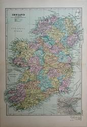 Ireland G W Bacon 1890 - 31 x 43 cm Large original antique coloured map. Centrefold as issued. Inset map of Dublin environs. The counties and the railways clearly depicted. Larger image Ref uk1703 : £15 Return to Great Britain & Ireland Index |
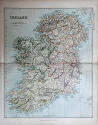 Ireland Wm. MacKenzie c1885 - 22.5 x 28 cm Original antique coloured map. Centrefold as issued. Railways shown prominently. Sold with 22 pages of associated text. Larger image Ref uk1708 : £11 Return to Great Britain & Ireland Index |
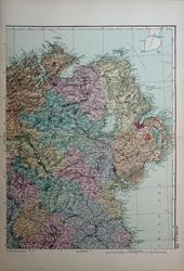 Ireland, North East G W Bacon 1890 - 32 x 41.5 cm Large original antique coloured map. Centrefold as issued. Larger image Ref uk1705 : £11 Return to Great Britain & Ireland Index |
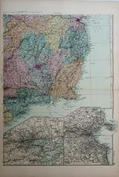 Ireland, South East G W Bacon 1890 - 32 x 43 cm Large original antique coloured map. Centrefold as issued. Large inset maps of environs of Dublin and Cork. Larger image Ref uk1707 : £11 Return to Great Britain & Ireland Index |
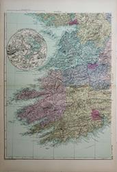 Ireland, South West G W Bacon 1890 - 32 x 43 cm Large original antique coloured map. Centrefold as issued. Circular inset map of the Lakes of Killarney. Larger image Ref uk1706 : £11 Return to Great Britain & Ireland Index |
|||
| |||