| Home Page | Buying | Maps | Books | Prints | Ephemera |
- Home Page
- England & Wales County Maps Anglesea - Dorset
- England & Wales County Maps Durham - Merioneth
- England & Wales County Maps Midd'x - Somerset
- England & Wales County Maps Staffs - Yorks
- British Isles: Physical, Railways, Statistical, etc. Roman Britain
- England & Wales, Countries, Islands, Regions inc. the Lake District, Road & Rail Maps
- Scotland, the Country & Regions: Town Plans & Environs; Rail Maps
- Ireland, the Country, Regions & Environs
- England & Wales, Town Plans & Maps of Environs
- Ordnance Survey and Folding Maps

There are 10 pages of maps of the British Isles. Please see the index on the Great Britain page to gain access to 1000 maps of England, Wales, Scotland and Ireland.
All our maps are Originals, NOT modern reproductions and have thumbnails as well as larger images so it is easy to find what you are looking for.
If you want several items, email me for a discount!
Email: don@theoldmapman.com
> Section 1 > Section 2
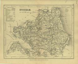 Durham Archer for Dugdale 1850 - 24 x 18 cm Uncoloured map with numerous railway lines shown Larger image Ref uk134 : £8 Return to Great Britain & Ireland Index |
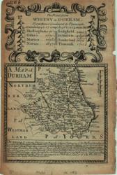 Durham Bowen, Owen 1720/1764 - 12 x 18 cm Uncoloured county map with description of the County & on verso strip map Mold to Holywell and Chester to Holywell with description of Mold. Two images available. Larger image 1 : Larger Image 2 Ref uk056 : £21 Return to Great Britain & Ireland Index |
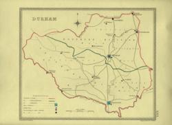 Durham Creighton; J&C Walker 1835 - 23 x 19 cm Parliamentary boundary map showing polling places and Borough Towns with the number of members to be returned from each. County and electoral boundaries shown in original outline hand colouring. Larger image Ref uk378 : £7 Return to Great Britain & Ireland Index |
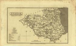 Durham G & W B Whittaker 1826 - 18 x 11 cm Uncoloured detailed map in which is laid down every Parish & Place containing upwards of 40 houses; table of information on the county. Larger image Ref uk026 : £9 Return to Great Britain & Ireland Index |
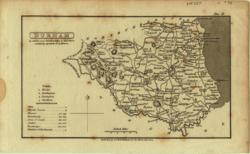 Durham G & W B Whittaker 1824 - 18 x 11 cm Uncoloured detailed map in which is laid down every Parish & Place containing upwards of 40 houses; table of information on the county. Spotting. Larger image Ref uk027 : £7 Return to Great Britain & Ireland Index |
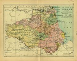 Durham Geo. Philip & Son 1890 - 20 x 15 cm Printed colour hundreds. Large number of railway lines. Larger image Ref uk083 : £7 Return to Great Britain & Ireland Index |
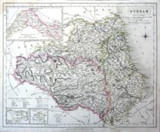 Durham J & C Walker 1836 - 40 x 32 cm Fine original hand colouring of the hundreds and the county boundaries. Many early named railways including the Clarence Railway, the Hartlepool, the Stanhope & Tyne, etc. Small stain in top left corner, see image. Larger image Ref uk1034 : £18 Return to Great Britain & Ireland Index |
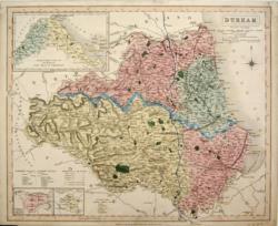 Durham J & C Walker 1836 - 40 x 33 cm Original wash hand-colouring of the Divisions, Wards and Boroughs. Insets of detached parts of the County. Narrow but adequate margins all round. Larger image Ref uk183 : £26 Return to Great Britain & Ireland Index |
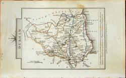 Durham John Cary 1822 - 9 x 14 cm Original hand colouring of roads, woodland and the county boundaries. Some toning around the margins; see the second image to see how it will look in a mount. Larger image 1 : Larger Image 2 Ref uk797 : £13 Return to Great Britain & Ireland Index |
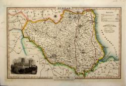 Durham Pigot & Co 1826/31 - 36 x 23 cm Original hand coloured outline with parks in green. Vignette of Durham Cathedral. Nice copy. Larger image Ref uk178 : £38 Return to Great Britain & Ireland Index |
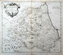 Durham Robert Morden 1695/1772 - 42 x36 cm Uncoloured map with good margins. A fine and clean copy in a nice impression. A tiny hole on centrefold has been neatly closed so as to be scarcely visible. Larger image Ref uk1033 : £45 Return to Great Britain & Ireland Index |
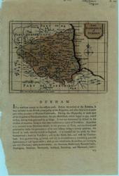 Durham Seller-Grose 1773/87 - 15 x 11 cm Faded green original wash colour. Map on half page with text below and on verso. Larger image Ref uk037 : £15 Return to Great Britain & Ireland Index |
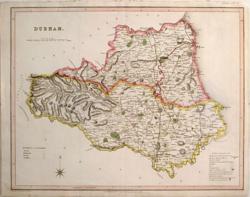 Durham T L Murray 1831 - 45 x 36 cm Original wash hand-colouring of the Divisions and Boroughs with woods in green. A nice clean bright map. Larger image Ref uk181 : £38 Return to Great Britain & Ireland Index |
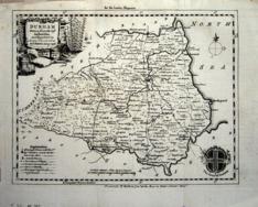 Durham Thomas Kitchin 1749/80 - 21 x 17 cm Uncoloured map from the London Magazine. Original folds. Two closed edge tears which are not noticeable. Cartouche and Arms of Durham. Larger image Ref uk1017 : £24 Return to Great Britain & Ireland Index |
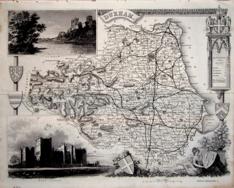 Durham Thomas Moule c1845 - 28 x 22 cm Decorative map with vignettes and coats of arms. Uncoloured as issued. As is often the case with these maps there are several original folds. This county has a large number of railways shown. Larger image Ref uk1047 : £15 Return to Great Britain & Ireland Index |
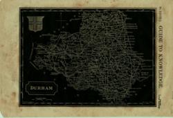 Durham W Edwards 1833 - 23 x 17 cm White on Black with Coat of Arms From Guide to Knowledge. With shield. Some marginal foxing. Larger image Ref uk004 : £5 Return to Great Britain & Ireland Index |
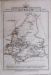 Durham & Essex John Cary 1792 - 10.5 x 16 cm Antique double sided maps from The Traveller's Companion, with original fine hand colouring of boundaries, roads, towns & parks. Larger image 1 : Larger Image 2 Ref uk1837 : £17 Return to Great Britain & Ireland Index |
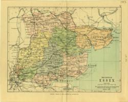 Essex Geo. Philip & Son 1889 - 20 x 15 cm Printed colour hundreds. Large number of railway lines. Larger image Ref uk085 : £7 Return to Great Britain & Ireland Index |
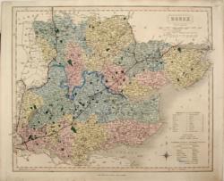 Essex J & C Walker 1836 - 40 x 32 cm Original wash hand-colouring of the Divisions, Hundreds and Boroughs. Some strengthening outside the engraved area. A fine map. Larger image Ref uk184 : £32 Return to Great Britain & Ireland Index |
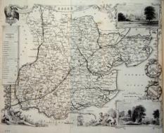 Essex Thomas Moule c1845 - 28 x 22 cm Decorative map with vignettes and coats of arms. Uncoloured as issued. As is often the case with these maps there are several original folds and the engraving reaches an edge of the sheet where an old paper extension will make fitting it to a mount easier. Another edge is strengthened. Several railways are shown. Larger image Ref uk1048 : £15 Return to Great Britain & Ireland Index |
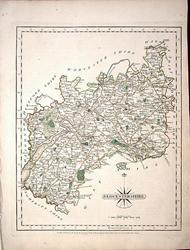 Glocestershire (sic) John Cary 1787 - 21 x 27 cm Antique map with original hand colouring of roads, woodland and the county boundaries. One margin is narrow, (see image). Supplied with a separate sheet describing the county and its industry, farming, gentry and environment, together with a list of the country seats and The most remarkable Places for extensive Prospects, etc. Larger image Ref uk1282 : £24 Return to Great Britain & Ireland Index |
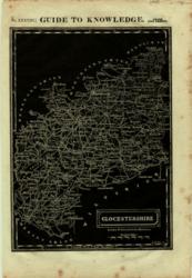 Glocestershire (sic) W Edwards 1833 - 23 x 17 cm White on Black From Guide to Knowledge. Some marginal foxing. Larger image Ref uk005 : £6 Return to Great Britain & Ireland Index |
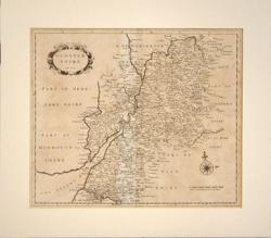 Glostershire, Gloucestershire Atkyns 1712-1767 - 40 x 33 cm Uncoloured map of Gloucestershire as issued in Robert Atkyns Ancient and Present State of Glostershire. Cartouche with date 1712 and compass rose. The first edition was published in 1712 and the second edition was 1767 with the same illustrations. This is not a common map. In good condition with large margins. A little creased down the centrefold mount and one other gentle crease. Larger image Ref uk668 : £70 Return to Great Britain & Ireland Index |
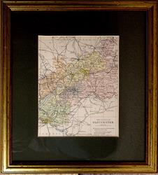 Gloucestershire Geo. Philip & Son. Mount window 145 x 195mm. Centrefold as issued. c1889 - 28.5 x 33.5 cm Printed colour hundreds. Large number of railway lines. Gilt frame with a dark green bevelled mount. Looks to be in good condition but not examined out of the frame. Larger image Ref uk1654 : £9 Return to Great Britain & Ireland Index |
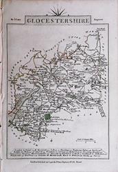 Gloucestershire & Hampshire John Cary 1792 - 10.5 x 16 cm Antique double sided maps from The Traveller's Companion, with original fine hand colouring of boundaries, roads, towns & parks. Larger image 1 : Larger Image 2 Ref uk1838 : £20 Return to Great Britain & Ireland Index |
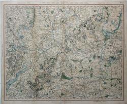 Gloucestershire & the Cotswolds. G & J Cary. 1827 - 66.5 x 54 cm A large rare antique double page map of the county of Gloucestershire as far south west as Thornbury, including the Forest of Dean, the Cotswold hills including Chipping Norton & Burford in Oxfordshire. Sheet 25 from Cary's improved map of England and Wales: with a considerable portion of Scotland, planned upon a scale of two statute miles to one inch, drawn from the most authentic surveys and parliamentary documents. This atlas and the maps are largely absent from the map trade. Scale is approximately 2 miles to 1 inch giving a great deal of detail. The superb hand colouring dates from 1827 as issued. Centrefold. Short edge tear in the lower margin has been closed. A 3 cm centrefold split has also been closed. It does not show on the front. Please see images. Larger image 1 : Larger Image 2 : Larger Image 3 Ref uk1685 : £140 Return to Great Britain & Ireland Index |
 Hampshire, North Cassell, Petter & Galpin 1862 - 43 x 31 cm Original outline colour. A large map, by Edward Weller, reaching Hambledon to the South. Considerable edge strengthening outside the engraved area. Larger image Ref uk194 : £15 Return to Great Britain & Ireland Index |
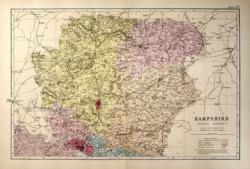 Hampshire, North G W Bacon 1890 - 47 x 30 cm Large double page hand coloured map as issued with woods, parks, hills, roads and railways. The railway companies are named on each line. A very nice clean copy. Larger image Ref uk486 : £9 Return to Great Britain & Ireland Index |
 Hampshire, North G W Bacon c 1885 - 46 x 30 cm Large double page hand coloured map as issued showing woods, parks, hills, roads and railways together with towns, villages and hamlets and even individual properties. The railway network is very clearly shown and the railway companies are named on each line. A very attractive map in fine condition. Larger image Ref uk936 : £14 Return to Great Britain & Ireland Index |
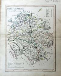 Herefordshire Archer for Dugdale c1850 - 18 x 24 cm Very fine original outline hand colouring of the County and Hundred boundaries as well as the railways which are a feature of these attractive maps. Centrefold as issued. Fair condition. Margins just a trifle scruffy. Centrefold strengthend verso, together with a closed split SW of Hereford. Larger image Ref uk1750 : £8 Return to Great Britain & Ireland Index |
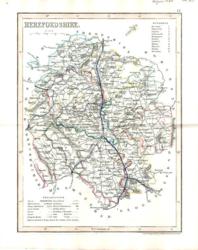 Herefordshire Archer for Dugdale 1850 - 18 x 24 cm Very fine outline hand colouring of the County and Hundred boundaries as well as the railways which are a feature of these attractive maps Larger image Ref uk312 : £8 Return to Great Britain & Ireland Index |
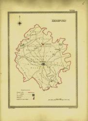 Herefordshire Creighton; J&C Walker 1835 - 17 x 24 cm Parliamentary boundary map showing polling places and Borough Towns with the number of members to be returned from each. County and electoral boundaries shown in original outline hand colouring. Larger image Ref uk380 : £7 Return to Great Britain & Ireland Index |
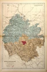 Herefordshire G W Bacon 1887 - 30 x 47 cm Large double page hand coloured map as issued with woods, parks, hills, roads and railways. The railway companies are named on each line. Has been repaired on the front with transparent water based tape at the LHS of the centrefold, for 2 or 3 cm. Larger image Ref uk490 : £3 Return to Great Britain & Ireland Index |
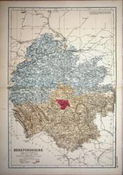 Herefordshire G W Bacon c 1885 - 31 x 46 cm Large double page hand coloured map as issued showing woods, parks, hills, roads and railways together with towns, villages and hamlets and even individual properties. The railway network is very clearly shown and the railway companies are named on each line. A very attractive map in fine condition. Larger image Ref uk938 : £10 Return to Great Britain & Ireland Index |
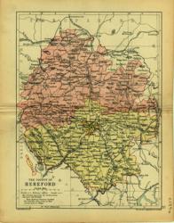 Herefordshire Geo. Philip & Son 1890 - 15 x 21 cm Printed colour hundreds. Large number of railway lines. Larger image Ref uk086 : £7 Return to Great Britain & Ireland Index |
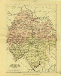 Herefordshire Geo. Philip & Son 1889 - 15 x 21 cm Printed colour hundreds. Large number of railway lines. Larger image Ref uk087 : £7 Return to Great Britain & Ireland Index |
 Herefordshire H G Collins 1850/68 - 15 x 19 cm Hand-coloured wash and outline with woods in green. Compass rose. Larger image Ref uk218 : £11 Return to Great Britain & Ireland Index |
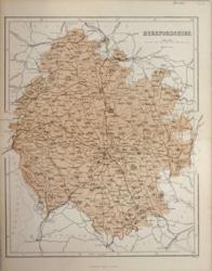 Herefordshire Hughes for Virtue & Co. 1868 - 25 x 30 cm Colour printed map of the county showing roads and railways. Centrefold strengthened. Larger image Ref uk416 : £5 Return to Great Britain & Ireland Index |
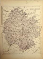 Herefordshire Hughes for Virtue & Co. 1873 - 25 x 30 cm Colour printed map of the county showing roads and railways. Very minor edge tear repaired. Unfolded. Larger image Ref uk417 : £4 Return to Great Britain & Ireland Index |
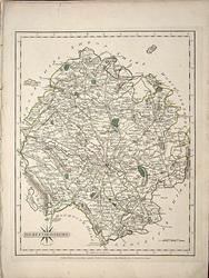 Herefordshire John Cary 1787 - 21 x 27 cm Antique map with original hand colouring of roads, woodland and the county boundaries. Margins a little dusty. Supplied with a separate sheet describing the county and its industry, farming, gentry and environment, together with a list of the country seats and The most remarkable Places for extensive Prospects, etc. Larger image Ref uk1284 : £26 Return to Great Britain & Ireland Index |
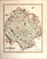 Herefordshire John Cary 1821 - 21 x 27 cm The very finest quality original hand colouring of roads, woodland and the county boundaries. Supplied with a separate sheet describing the county and its industry, farming, gentry and environment, together with a list of the country seats and The most remarkable Places for extensive Prospects, etc. Larger image Ref uk265 : £28 Return to Great Britain & Ireland Index |
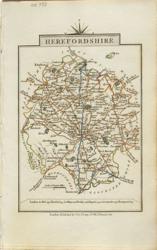 Herefordshire John Cary 1822 - 9 x 14 cm Original hand colouring of roads, woodland and the county boundaries. Larger image Ref uk801 : £15 Return to Great Britain & Ireland Index |
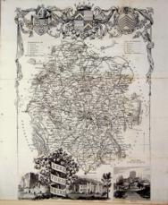 Herefordshire Thomas Moule c1845 - 28 x 22 cm Decorative map with vignettes and coats of arms. Uncoloured as issued. As is often the case with these maps there are several original folds and the engraving reaches almost to an edge of the sheet where an old paper extension will make fitting it to a mount easier. A little band of very light foxing (see image). Larger image Ref uk1050 : £12 Return to Great Britain & Ireland Index |
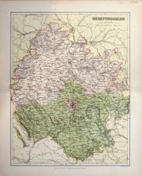 Herefordshire Weller for MacKenzie 1894 - 22 x 28 cm High quality colour printed map of the county, on good paper, showing roads and railways and parliamentary divisions. Larger image Ref uk453 : £7 Return to Great Britain & Ireland Index |
 Herefordshire & Hertfordshire John Cary 1792 - 10.5 x 16 cm Antique double sided maps from The Traveller's Companion, with original fine hand colouring of boundaries, roads, towns & parks. Larger image 1 : Larger Image 2 Ref uk1839 : £17 Return to Great Britain & Ireland Index |
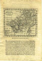 Hertfordshire Seller-Grose 1773/87 - 15 x 12 cm Uncoloured early map on half page with text below and verso. Some print through. Larger image Ref uk038 : £24 Return to Great Britain & Ireland Index |
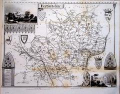 Hertfordshire Thomas Moule c1845 - 28 x 22 cm Decorative map with vignettes and coats of arms. Uncoloured as issued. As is often the case with these maps there is an original fold and the engraving reaches almost to an edge of the sheet where an old paper extension will make fitting it to a mount easier. Foxed (see image). Several railways are shown. Larger image Ref uk1051 : £10 Return to Great Britain & Ireland Index |
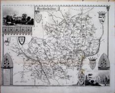 Hertfordshire Thomas Moule c1845 - 28 x 22 cm Decorative map with vignettes and coats of arms. Uncoloured as issued. Single original fold. Very good margins for a Thomas Moule. Several railways are shown. Larger image Ref uk1090 : £20 Return to Great Britain & Ireland Index |
> Section 1 > Section 2 | |||