| Home Page | Buying | Maps | Books | Prints | Ephemera |
- Home Page
- England & Wales County Maps Anglesea - Dorset
- England & Wales County Maps Durham - Merioneth
- England & Wales County Maps Midd'x - Somerset
- England & Wales County Maps Staffs - Yorks
- British Isles: Physical, Railways, Statistical, etc. Roman Britain
- England & Wales, Countries, Islands, Regions inc. the Lake District, Road & Rail Maps
- Scotland, the Country & Regions: Town Plans & Environs; Rail Maps
- Ireland, the Country, Regions & Environs
- England & Wales, Town Plans & Maps of Environs
- Ordnance Survey and Folding Maps

There are 10 pages of maps of the British Isles. Please see the index on the Great Britain page to gain access to 1000 maps of England, Wales, Scotland and Ireland.
All our maps are Originals, NOT modern reproductions and have thumbnails as well as larger images so it is easy to find what you are looking for.
If you want several items, email me for a discount!
Email: don@theoldmapman.com
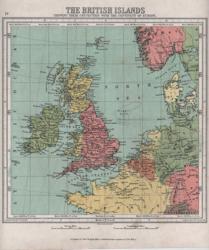 British Islands Bartholomew 1866 - 21 x 23 cm "Shewing their connection with the continent of Europe". 1,000 miles square. Includes the Low Countries and Denmark and parts of France, Switzerland, Prussia, Germany, Sweden and Norway. Nice printed colour. Very clean. Larger image Ref uk237 : £9 Return to Great Britain & Ireland Index |
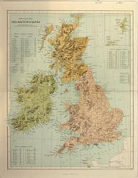 British Islands Virtue & Co 1860 - 25 x 31 cm Physical map in colours. Lists of the mountains in England, Wales, Scotland and Ireland. Centrefold strengthened Larger image Ref uk238 : £6 Return to Great Britain & Ireland Index |
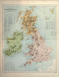 British Islands Virtue & Co 1868 - 25 x 31 cm Physical map in colours. Lists of the mountains in England, Wales, Scotland and Ireland. Centrefold and top margin strengthened Larger image Ref uk239 : £5 Return to Great Britain & Ireland Index |
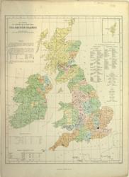 British Islands Virtue & Co 1873 - 25 x 31 cm Population map based on the census of 1871. Coloured by population density of the counties. Lists of the larger towns by population. Larger image Ref uk241 : £8 Return to Great Britain & Ireland Index |
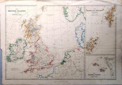 British Islands and the North Sea Ed. Weller/Blackie c 1860 - 51 x 34 cm With separate maps of the Orkney and Shetland Islands and the Channel Islands. Hand coloured in outline as issued. Covers parts of Norway, Denmark and the Low Countries as far as Frankfurt. Original folds. One tear in the Atlantic has been repaired and is scarcely visible. Top margin creased. Larger image Ref uk632 : £22 Return to Great Britain & Ireland Index |
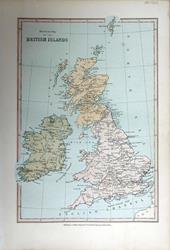 British Islands. Historical Map. Bartholomew; Wm Collins c1875 - 15 x 22 cm An original antique coloured map. Shows Battles with dates. Larger image Ref uk1664 : £8 Return to Great Britain & Ireland Index |
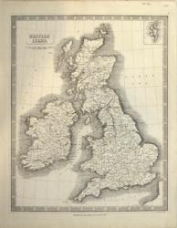 British Isles Geo Philip & Son 1853 - 23 x 30 cm Uncoloured relief map showing counties and principal towns. Good margins and very clean. Larger image Ref uk236 : £12 Return to Great Britain & Ireland Index |
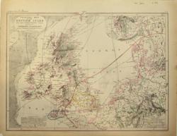 British Isles I Dower 1850 - 29 x 21 cm Physical Map and the Surrounding Seas showing Orography (mountain formation), Climatology, Botanical & Zoological features. The extreme Northern limit of the cultivation of the vine and of the Nightingale are shown as well as the area of Hop cultivation and the principal district of the Pilchard! Hand coloured in Outline. Very detailed examination reveals that capital cities have been underlined in pencil and erased but this is not obvious and the map is very interesting. Larger image Ref uk244 : £7 Return to Great Britain & Ireland Index |
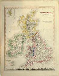 British Isles I Dower 1850 - 21 x 26 cm Fine original hand-colouring in outline and with a Section from London to Cape Wrath. However 7 towns have been underlined crudely in ink. Larger image Ref uk245 : £3 Return to Great Britain & Ireland Index |
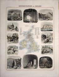 British Isles Leeder & Schade 1863 - 44 x 32 cm A map of the British Isles, surrounded by 12 hand coloured wood-engraved vignettes including Bell Rock Lighthouse near Liverpool, Coal Mine near Newcastle, English Dogs, Chillingham Park Cattle, an English Smuggler, Slate Quarry at Penhryn, etc. Occasional short tears in margins, repaired; edges and centrefold ends strengthened. An unusual and very interesting map. From Leeder (Ehrenfried) and Theodor Schade: Illustrirter Handatlas für Freunde der Erdkunde und zum Gebrauch beim unterricht. Im verein mit Heinrich Leutemann herausgegeben, Leipzig, F.A. Brockhaus. Larger image 1 : Larger Image 2 : Larger Image 3 : Larger Image 4 Ref uk878 : £45 Return to Great Britain & Ireland Index |
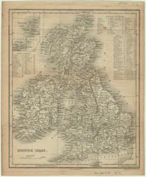 British Isles S Hall for Longman 1854 - 15 x 18 cm Uncoloured map showing many towns with lists of Scotch, English, Welch and Irish Counties. From Goldsmith's Geography. Larger image Ref uk125 : £10 Return to Great Britain & Ireland Index |
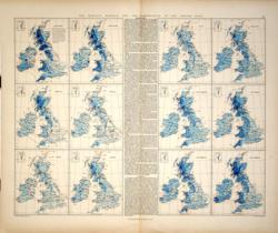 British Isles - Rainfall & Temperature Maps Edward Stanford 1887 - 61 x 49 cm Monthly maps with rainfall amounts and isotherms indicating highest mean temperatures. Information in inches and degrees Fahrenheit, of course. Detailed comment is also printed on the monthly temperature figures and on regional rainfall. Larger image Ref uk175 : £9 Return to Great Britain & Ireland Index |
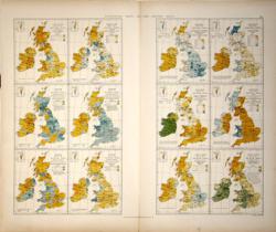 British Isles - Statistical Maps Edward Stanford 1887 - 26 x 48 each page cm Twelve maps on two pages. Population, Death Rates, Diseases (4), Religion (3), Language, Corn Crops and Grass Land. Each map indicates by county the proportion of each subject covered. Larger image Ref uk174 : £18 Return to Great Britain & Ireland Index |
|||
| |||