| Home Page | Buying | Maps | Books | Prints | Ephemera |
- Home Page
- England & Wales County Maps Anglesea - Dorset
- England & Wales County Maps Durham - Merioneth
- England & Wales County Maps Midd'x - Somerset
- England & Wales County Maps Staffs - Yorks
- British Isles: Physical, Railways, Statistical, etc. Roman Britain
- England & Wales, Countries, Islands, Regions inc. the Lake District, Road & Rail Maps
- Scotland, the Country & Regions: Town Plans & Environs; Rail Maps
- Ireland, the Country, Regions & Environs
- England & Wales, Town Plans & Maps of Environs
- Ordnance Survey and Folding Maps

There are 10 pages of maps of the British Isles. Please see the index on the Great Britain page to gain access to 1000 maps of England, Wales, Scotland and Ireland.
All our maps are Originals, NOT modern reproductions and have thumbnails as well as larger images so it is easy to find what you are looking for.
If you want several items, email me for a discount!
Email: don@theoldmapman.com
> Section 1 > Section 2
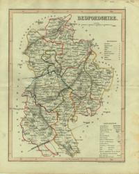 Bedfordshire Archer 1840 - 18 x 24 cm Original wash colouring border with fine outline colouring of the hundreds. Larger image Ref uk136 : £8 Return to Great Britain & Ireland Index |
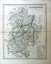 Bedfordshire Archer for Dugdale c1850 - 18 x 24 cm Very fine original outline hand colouring of the County and Hundred boundaries as well as the railways which are a feature of these attractive maps. Centrefold as issued. Good condition. Larger image Ref uk1736 : £8 Return to Great Britain & Ireland Index |
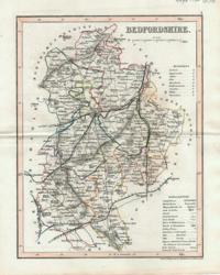 Bedfordshire Archer for Dugdale 1850 - 18 x 24 cm Very fine outline hand colouring of the County and Hundred boundaries as well as the railways which are a feature of these attractive maps Larger image Ref uk298 : £8 Return to Great Britain & Ireland Index |
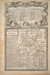 Bedfordshire Bowen, Owen 1720/1764 - 12 x 18 cm Uncoloured county map with description of the County & on verso strip map Suffolk to Norwich via Thetford, Attleborough and Windham with description of Norwich. Nice condition with just a little toning in the margins. Two images available. Larger image 1 : Larger Image 2 Ref uk1002 : £19 Return to Great Britain & Ireland Index |
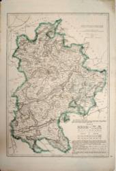 Bedfordshire Cassell, Petter & Galpin 1862 - 31 x 43 cm Original outline colour. A large map. some edges outside the engraved area strengthened. Larger image Ref uk191 : £10 Return to Great Britain & Ireland Index |
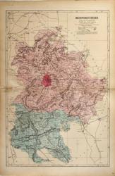 Bedfordshire G W Bacon 1887 - 30 x 46 cm Large double page hand coloured map as issued with woods, parks, hills, roads and railways. The railway companies are named on each line. Slight surface damage along centrefold for 2/3 cm outside Beds boundary. Two short marginal tears repaired. Larger image Ref uk456 : £3 Return to Great Britain & Ireland Index |
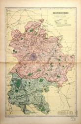 Bedfordshire G W Bacon 1897 - 30 x 46 cm Large double page coloured map with woods, parks, hills, roads and railways. The railway companies are named on each line. Larger image Ref uk457 : £9 Return to Great Britain & Ireland Index |
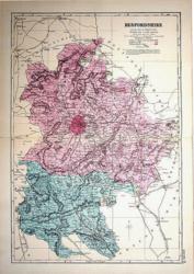 Bedfordshire G W Bacon c 1885 - 30 x 46 cm Large double page hand coloured map as issued showing woods, parks, hills, roads and railways together with towns, villages and hamlets and even individual properties. The railway network is very clearly shown and the railway companies are named on each line. A very attractive map in fine condition. Larger image Ref uk921 : £10 Return to Great Britain & Ireland Index |
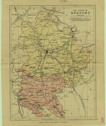 Bedfordshire Geo. Philip & Son 1889 - 15 x 21 cm Printed colour hundreds. Large number of railway lines. Larger image Ref uk076 : £7 Return to Great Britain & Ireland Index |
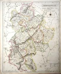 Bedfordshire J & C Walker 1837 - 32 x 39 cm Fine original hand colouring of the hundreds and the county boundaries. Good condition. Just an odd spot of foxing. See the image. Larger image Ref uk829 : £22 Return to Great Britain & Ireland Index |
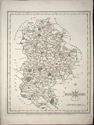 Bedfordshire John Cary 1787 - 21 x 27 cm Antique map with original hand colouring of roads, woodland and the county boundaries. One margin is narrow, (see image). Supplied with a separate sheet describing the county and its industry, farming, gentry and environment, together with a list of the country seats and The most remarkable Places for extensive Prospects, etc. Larger image Ref uk1270 : £26 Return to Great Britain & Ireland Index |
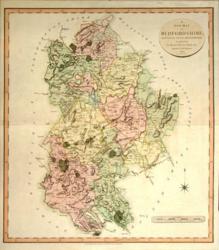 Bedfordshire John Cary 1801/11 - 48 x 54 cm Very fine hand wash colouring to the hundreds as issued, with roads, parkland, etc., picked out in brown and green. Trimmed to the plate mark but adequate margins all round Larger image Ref uk163 : £35 Return to Great Britain & Ireland Index |
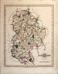 Bedfordshire John Cary 1821 - 21 x 27 cm The very finest quality original hand colouring of roads, woodland and the county boundaries. Supplied with a separate sheet describing the county and its industry, farming, gentry and environment, together with a list of the country seats and The most remarkable Places for extensive Prospects, etc. Larger image Ref uk251 : £28 Return to Great Britain & Ireland Index |
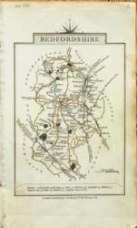 Bedfordshire John Cary 1822 - 9 x 14 cm Original hand colouring of roads, woodland and the county boundaries. Some toning around the margins; see the second image to see how it will look in a mount. Larger image 1 : Larger Image 2 Ref uk787 : £13 Return to Great Britain & Ireland Index |
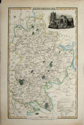 Bedfordshire Pigot & Co 1839/43 - 22 x 37 cm Orig hand coloured outline with parks in green. Vignette of Luton Church Larger image Ref uk176 : £28 Return to Great Britain & Ireland Index |
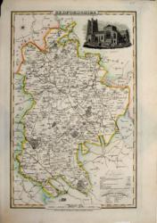 Bedfordshire Pigot & Co 1826/34 - 22 x 37 cm Orig hand coloured outline with parks in green. Vignette of Luton Church Larger image Ref uk177 : £28 Return to Great Britain & Ireland Index |
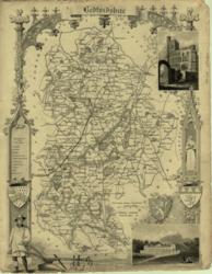 Bedfordshire Thomas Moule 1850 - 20 x 27 cm Uncoloured with engraved border of shields and architecture inc Woburn and plough and ploughman. No bottom margin Larger image Ref uk054 : £16 Return to Great Britain & Ireland Index |
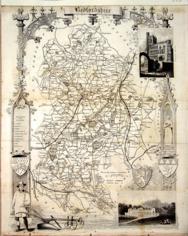 Bedfordshire Thomas Moule c1845 - 28 x 22 cm Decorative map with vignettes and coats of arms. Uncoloured as issued. As is often the case with these maps there are several original folds and the engraving reaches almost to an edge of the sheet where an old paper extension will make fitting it to a mount easier. A little band of light foxing (see image). Several railways are shown. Larger image Ref uk1038 : £12 Return to Great Britain & Ireland Index |
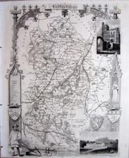 Bedfordshire Thomas Moule c1845 - 28 x 22 cm Decorative map with vignettes and coats of arms. Uncoloured as issued. Single original fold. Very good margins for a Thomas Moule. Several railways are shown. Larger image Ref uk1085 : £14 Return to Great Britain & Ireland Index |
 Bedfordshire & Berkshire John Cary 1792 - 10.5 x 16 cm Antique double sided maps from The Traveller's Companion, with original fine hand colouring of boundaries, roads, towns & parks. No Larger Image Ref uk1832 : £16 Return to Great Britain & Ireland Index |
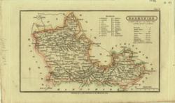 Berkshire G & W B Whittaker 1824 - 18 x 11 cm Detailed map in which is laid down every Parish & Place containing upwards of 40 houses; table of information on the county. Hand coloured in outline. Larger image Ref uk024 : £12 Return to Great Britain & Ireland Index |
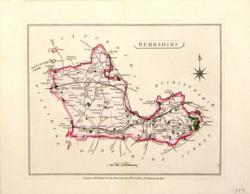 Berkshire H G Collins 1850/68 - 18 x 15 cm Hand-coloured wash and outline with woods in green. Compass rose. Larger image Ref uk217 : £15 Return to Great Britain & Ireland Index |
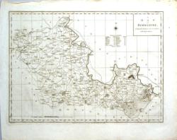 Berkshire Harrison 1787 - 46 x 34 cm Engraved from an actual survey, with improvements. Uncoloured. Original folds. Larger image Ref uk158 : £25 Return to Great Britain & Ireland Index |
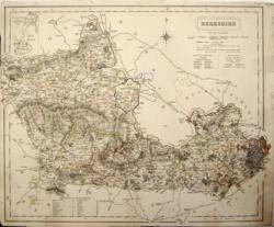 Berkshire J & C Walker 1836 - 39 x 32 cm Original wash hand-colouring of the Hundreds and Boroughs. Narrow margins all round. Short tears neatly repaired. Rather creased Larger image Ref uk182 : £18 Return to Great Britain & Ireland Index |
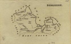 Berkshire John Aikin 1809 - 15 x 10 cm Simple map showing county outline, rivers and some towns Larger image Ref uk011 : £7 Return to Great Britain & Ireland Index |
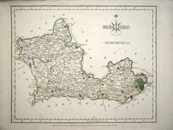 Berkshire John Cary 1787 - 27 x 21 cm Antique map with original hand colouring of roads, woodland and the county boundaries. Supplied with a separate sheet describing the county and its industry, farming, gentry and environment, together with a list of the country seats and The most remarkable Places for extensive Prospects, etc. Larger image Ref uk1271 : £26 Return to Great Britain & Ireland Index |
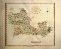 Berkshire John Cary 1801/11 - 54 x 48 cm Very fine hand wash colouring to the hundreds as issued, with roads, parkland, etc., picked out in brown and green. A little off-setting Larger image Ref uk164 : £45 Return to Great Britain & Ireland Index |
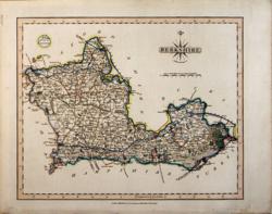 Berkshire John Cary 1821 - 27 x 21 cm The very finest quality original hand colouring of roads, woodland and the county boundaries. Supplied with a separate sheet describing the county and its industry, farming, gentry and environment, together with a list of the country seats and The most remarkable Places for extensive Prospects, etc. Larger image Ref uk252 : £28 Return to Great Britain & Ireland Index |
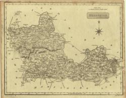 Berkshire Neele 1819 - 25 x 20 cm Uncoloured very detailed map a little foxed outside printed area. A light impression of the border. Two narrowish margins. Larger image Ref uk068 : £10 Return to Great Britain & Ireland Index |
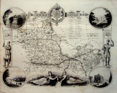 Berkshire Thomas Moule c1845 - 28 x 22 cm Decorative map with vignettes and coats of arms. Uncoloured as issued. As is often the case with these maps there are several original folds. A short edge tear has been closed and is not obvious. Several railways are shown. Larger image Ref uk1039 : £16 Return to Great Britain & Ireland Index |
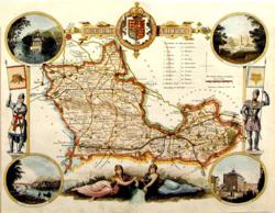 Berkshire Thomas Moule 1850 - 26 x 20 cm Hand-coloured with engraved border of vignettes (Windsor; Windsor Castle; Abingdon & Virginia Water) knights in armour, nymphs representing the source of the Thames and the Royal Coat of Arms. Slight repaired tear at top and stain down the table of the hundreds. Larger image Ref uk153 : £25 Return to Great Britain & Ireland Index |
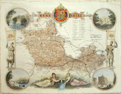 Berkshire Thomas Moule c 1845 - 26 x 20 cm Decorative map with vignettes and coats of arms. Rather bold hand colouring. Short tear, away from printed area, neatly repaired. Good margins. Larger image Ref uk745 : £28 Return to Great Britain & Ireland Index |
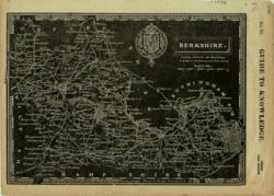 Berkshire W Edwards 1833 - 23 x 17 cm White on Black with Coat of Arms From Guide to Knowledge. With Garter symbol. Larger image Ref uk001 : £6 Return to Great Britain & Ireland Index |
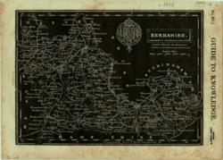 Berkshire W Edwards/ R. Clay 1833 - 23 x 17 cm White on Black with Coat of Arms From Guide to Knowledge. With Garter symbol. A strong impression. Some marginal foxing. Larger image Ref uk002 : £4 Return to Great Britain & Ireland Index |
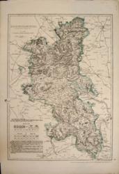 Buckinghamshire Cassell, Petter & Galpin 1862 - 31 x 44 cm Original outline colour. A large map by B R Davies from the Ordnance Survey. Some edges outside the engraved area strengthened. A slight crease. Larger image Ref uk192 : £15 Return to Great Britain & Ireland Index |
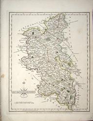 Buckinghamshire John Cary 1787 - 21 x 27 cm Antique map with original hand colouring of roads, woodland and the county boundaries. One margin is narrow, (see image). A couple of faint spots outside the county boundary, (see image). Supplied with a separate sheet describing the county and its industry, farming, gentry and environment, together with a list of the country seats and The most remarkable Places for extensive Prospects, etc. Larger image Ref uk1272 : £24 Return to Great Britain & Ireland Index |
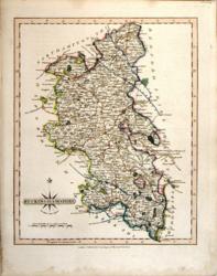 Buckinghamshire John Cary 1821 - 21 x 27 cm The very finest quality original hand colouring of roads, woodland and the county boundaries. Supplied with a separate sheet describing the county and its industry, farming, gentry and environment, together with a list of the country seats and The most remarkable Places for extensive Prospects, etc. Larger image Ref uk253 : £28 Return to Great Britain & Ireland Index |
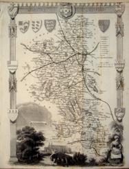 Buckinghamshire Thomas Moule c1845 - 28 x 22 cm Decorative map with vignettes and coats of arms. Uncoloured as issued. As is often the case with these maps there are several original folds and the engraving reaches an edge of the sheet where an old paper extension will make fitting it to a mount easier. Some light foxing along folds (see image). Several railways are shown. Larger image Ref uk1040 : £12 Return to Great Britain & Ireland Index |
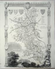 Buckinghamshire Thomas Moule c1845 - 28 x 22 cm Decorative map with vignettes and coats of arms. Uncoloured as issued. Single original fold. Very good margins for a Thomas Moule except at the foot. Faint foxing at foot of fold. Several railways are shown. Larger image Ref uk1087 : £15 Return to Great Britain & Ireland Index |
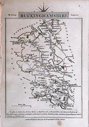 Buckinghamshire & Cambridgeshire John Cary 1792 - 10.5 x 16 cm Antique double sided maps from The Traveller's Companion, with original fine hand colouring of boundaries, roads, towns & parks. No Larger Image Ref uk1833 : £20 Return to Great Britain & Ireland Index |
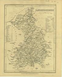 Cambridgeshire Archer for Dugdale 1840 - 18 x 24 cm Uncoloured map with just one railway (towards London from Cambridge) marked Larger image Ref uk133 : £8 Return to Great Britain & Ireland Index |
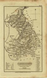 Cambridgeshire G & W B Whittaker 1824 - 11 x 18 cm Uncoloured detailed map in which is laid down every Parish & Place containing upwards of 40 houses; table of information on the county. Faint spotting. Larger image Ref uk025 : £9 Return to Great Britain & Ireland Index |
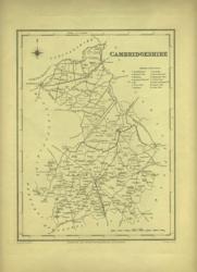 Cambridgeshire J & C Walker / Lewis c1840 - 18 x 23 cm Uncoloured map with just one railway (towards London from Cambridge) marked Larger image Ref uk354 : £8 Return to Great Britain & Ireland Index |
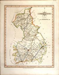 Cambridgeshire John Cary 1821 - 21 x 27 cm The very finest quality original hand colouring of roads, woodland and the county boundaries. Supplied with a separate sheet describing the county and its industry, farming, gentry and environment, together with a list of the country seats and The most remarkable Places for extensive Prospects, etc. Larger image Ref uk254 : £28 Return to Great Britain & Ireland Index |
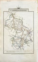 Cambridgeshire John Cary 1822 - 9 x 14 cm Original hand colouring of roads, woodland and the county boundaries. Slight toning around the margins. Larger image Ref uk790 : £15 Return to Great Britain & Ireland Index |
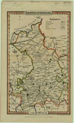 Cambridgeshire Pigot & Co 1839/50 - 10 x 17 cm Original fine outline colouring with woods in green Larger image Ref uk046 : £24 Return to Great Britain & Ireland Index |
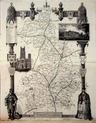 Cambridgeshire Thomas Moule c1845 - 28 x 22 cm Decorative map with vignettes and coats of arms. Uncoloured as issued. As is often the case with these maps there are several original folds, one of which is strengthened, and the engraving reaches almost to an edge of the sheet where an old paper extension will make fitting it to a mount easier. Several railways are shown. Larger image Ref uk1041 : £18 Return to Great Britain & Ireland Index |
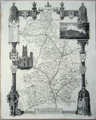 Cambridgeshire Thomas Moule c1845 - 28 x 22 cm Decorative map with vignettes and coats of arms. Uncoloured as issued. Single original fold. Very good margins for a Thomas Moule. Several railways are shown. Larger image Ref uk1088 : £20 Return to Great Britain & Ireland Index |
> Section 1 > Section 2 | |||