| Home Page | Buying | Maps | Books | Prints | Ephemera |
- Home Page
- England & Wales County Maps Anglesea - Dorset
- England & Wales County Maps Durham - Merioneth
- England & Wales County Maps Midd'x - Somerset
- England & Wales County Maps Staffs - Yorks
- British Isles: Physical, Railways, Statistical, etc. Roman Britain
- England & Wales, Countries, Islands, Regions inc. the Lake District, Road & Rail Maps
- Scotland, the Country & Regions: Town Plans & Environs; Rail Maps
- Ireland, the Country, Regions & Environs
- England & Wales, Town Plans & Maps of Environs
- Ordnance Survey and Folding Maps

There are 10 pages of maps of the British Isles. Please see the index on the Great Britain page to gain access to 1000 maps of England, Wales, Scotland and Ireland.
All our maps are Originals, NOT modern reproductions and have thumbnails as well as larger images so it is easy to find what you are looking for.
If you want several items, email me for a discount!
Email: don@theoldmapman.com
> Section 1 > Section 2
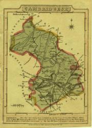 Cambridgeshire Wallis 1820 - 9 x 13 cm Original wash colouring Larger image Ref uk044 : £12 Return to Great Britain & Ireland Index |
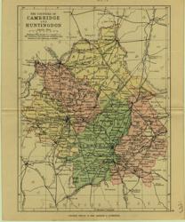 Cambridgeshire & Huntingdon Geo. Philip & Son 1889 - 15 x 21 cm Printed colour hundreds. Large number of railway lines. Larger image Ref uk078 : £7 Return to Great Britain & Ireland Index |
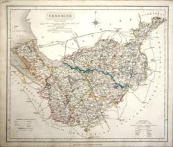 Cheshire J & C Walker 1837 - 39 x 32 cm Fine original hand colouring of the hundreds and the county boundaries. Good condition. Just an odd spot of foxing and a little thumbing at bottom left. See the image. Shows the Liverpool and Manchester Railroad, the Warrington & Newton Railway which becomes the line to Birmingham. Larger image Ref uk833 : £26 Return to Great Britain & Ireland Index |
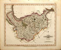 Cheshire John Cary 1809 - 26 x 22 cm From New English Atlas. Contemporary hand colouring. Couple of small stains, mostly outside the printed area. Some darkening of outline green wash Larger image Ref uk160 : £22 Return to Great Britain & Ireland Index |
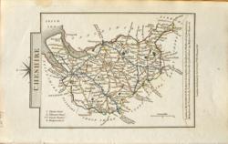 Cheshire John Cary 1822 - 9 x 14 cm Original hand colouring of roads, woodland and the county boundaries. Slight toning around the margins. Larger image Ref uk791 : £17 Return to Great Britain & Ireland Index |
 Cheshire & Cornwall John Cary 1792 - 10.5 x 16 cm Antique double sided maps from The Traveller's Companion, with original fine hand colouring of boundaries, roads, towns & parks. No Larger Image Ref uk1834 : £22 Return to Great Britain & Ireland Index |
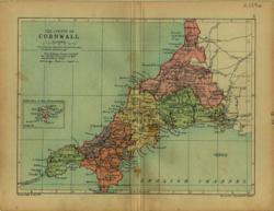 Cornwall Geo. Philip & Son 1890 - 20 x 15 cm Printed colour hundreds. Large number of railway lines. Only two stains are noticeable and much lighter than the image suggests! Larger image Ref uk079 : £9 Return to Great Britain & Ireland Index |
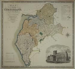 Cumberland Greenwood, C & J 1830 - 70.5 x 60.5 cm An attractive and large steel engraved county map of Cumberland, published by Greenwood and Co., in London in 1830. The map depicts the county of Cumberland in some detail and also includes a decorative title cartouche, compass rose, Explanation and Reference to the Hundreds as well as a very fine engraving of Carlisle Cathedral. Overall 705 x 605mm. Hand coloured as issued and laid down on board. In very good condition. Because of its size shipping will be £10 in the UK. Larger image 1 : Larger Image 2 : Larger Image 3 Ref uk1227 : £50 Return to Great Britain & Ireland Index |
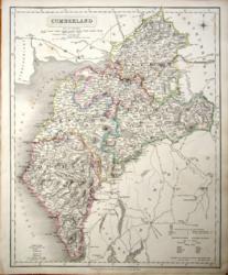 Cumberland J & C Walker 1837 - 32 x 39 cm Fine original hand colouring of the hundreds and the county boundaries. Good condition. Just an odd spot of foxing. See the image. Larger image Ref uk835 : £22 Return to Great Britain & Ireland Index |
 Cumberland John Cary 1787 - 21 x 27 cm Antique map with original hand colouring of roads, woodland and the county boundaries. One margin is narrow, (see image). Supplied with a separate sheet describing the county and its industry, farming, gentry and environment, together with a list of the country seats and The most remarkable Places for extensive Prospects, etc. Larger image Ref uk1276 : £26 Return to Great Britain & Ireland Index |
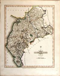 Cumberland John Cary 1821 - 21 x 27 cm The very finest quality original hand colouring of roads, woodland and the county boundaries. Supplied with a separate sheet describing the county and its industry, farming, gentry and environment, together with a list of the country seats and The most remarkable Places for extensive Prospects, etc. Larger image Ref uk257 : £28 Return to Great Britain & Ireland Index |
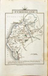 Cumberland John Cary 1822 - 9 x 14 cm Original hand colouring of roads, woodland and the county boundaries. Some toning around the margins; see the second image to see how it will look in a mount. Larger image 1 : Larger Image 2 Ref uk793 : £13 Return to Great Britain & Ireland Index |
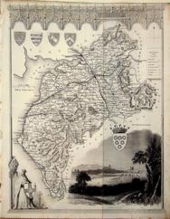 Cumberland Thomas Moule c1845 - 28 x 22 cm Decorative map with vignettes and coats of arms. Uncoloured as issued. As is often the case with these maps there are several original folds and the engraving reaches almost to an edge of the sheet where an old paper extension will make fitting it to a mount easier. Several railways are shown. Larger image Ref uk1043 : £10 Return to Great Britain & Ireland Index |
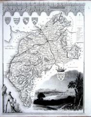 Cumberland Thomas Moule c1845 - 28 x 22 cm Decorative map with vignettes and coats of arms. Uncoloured as issued. Single original fold. Very good margins for a Thomas Moule. Several railways are shown. Closed edge tears. Larger image Ref uk1114 : £14 Return to Great Britain & Ireland Index |
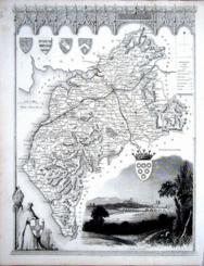 Cumberland Thomas Moule c1845 - 28 x 22 cm Decorative map with vignettes and coats of arms. Uncoloured as issued. Single original fold. Very good margins for a Thomas Moule. Several railways are shown. Closed edge tears. Larger image Ref uk1115 : £16 Return to Great Britain & Ireland Index |
 Cumberland & Derbyshire John Cary 1792 - 10.5 x 16 cm Antique double sided maps from The Traveller's Companion, with original fine hand colouring of boundaries, roads, towns & parks. No Larger Image Ref uk1835 : £16 Return to Great Britain & Ireland Index |
 Cumberland & Westmorland Geo. Philip & Son 1890 - 15 x 21 cm Printed colour hundreds. Large number of railway lines. Larger image Ref uk080 : £7 Return to Great Britain & Ireland Index |
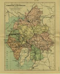 Cumberland & Westmorland Geo. Philip & Son 1889 - 15 x 21 cm Printed colour hundreds. Large number of railway lines. Larger image Ref uk650 : £7 Return to Great Britain & Ireland Index |
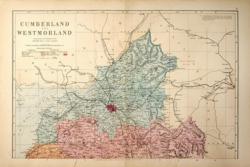 Cumberland & Westmorland: 2 sheets G W Bacon 1881 - 46 x 60 cm Large double page hand coloured maps as issued with woods, parks, hills, roads and railways. The railway companies are named on each line. Mount together to form one large map. A nice copy. Two images available. Larger image 1 : Larger Image 2 Ref uk468 : £15 Return to Great Britain & Ireland Index |
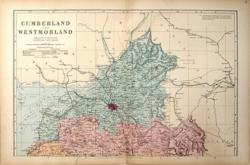 Cumberland & Westmorland: 2 sheets G W Bacon 1887 - 46 x 60 cm Large double page hand coloured maps as issued with woods, parks, hills, roads and railways. The railway companies are named on each line. Mount together to form one large map. A nice copy. Two images available. Larger image 1 : Larger Image 2 Ref uk469 : £15 Return to Great Britain & Ireland Index |
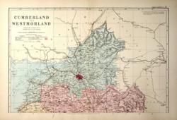 Cumberland & Westmorland: 2 sheets G W Bacon 1890 - 46 x 60 cm Large double page hand coloured maps as issued with woods, parks, hills, roads and railways. The railway companies are named on each line. Mount together to form one large map. A good copy. Two images available. Larger image 1 : Larger Image 2 Ref uk470 : £15 Return to Great Britain & Ireland Index |
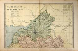 Cumberland & Westmorland: 2 sheets G W Bacon 1898 - 46 x 60 cm Large double page coloured maps with woods, parks, hills, roads and railways. The railway companies are named on each line. Mount together to form one large map. A little foxing on the left of the Northern sheet but still attractive. Two images available. Larger image 1 : Larger Image 2 Ref uk472 : £10 Return to Great Britain & Ireland Index |
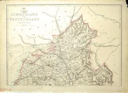 Cumberland and Westmorland Edward Weller c 1858 - 46 x 60 cm 2 sheet large lithographed map with hand-colouring in outline. One or two surface smudges and folds in both planes probably dating from its original distribution with a Sunday edition of the Weekly Dispatch newspaper. Larger image 1 : Larger Image 2 Ref uk784 : £24 Return to Great Britain & Ireland Index |
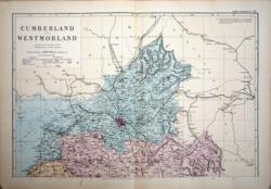 Cumberland North G W Bacon c 1885 - 46 x 30 cm Large double page hand coloured map as issued showing woods, parks, hills, roads and railways together with towns, villages and hamlets and even individual properties. The railway network is very clearly shown and the railway companies are named on each line. A very attractive map in fine condition. Larger image Ref uk928 : £14 Return to Great Britain & Ireland Index |
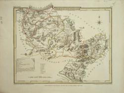 Denbighshire Cole & Roper for Vernon, Hood & Sharpe 1809 - 23 x 19 cm Original hand-colouring in outline. Clear hatching of the hills and mountains. A nice copy. Larger image Ref uk373 : £12 Return to Great Britain & Ireland Index |
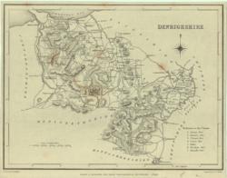 Denbighshire J & C Walker / Lewis 1842 - 24 x 18 cm Uncoloured map. Narrow margins. Larger image Ref uk368 : £4 Return to Great Britain & Ireland Index |
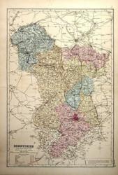 Derbyshire G W Bacon 1890 - 31 x 46 cm Large double page hand coloured map as issued with woods, parks, hills, roads and railways. The railway companies are named on each line. A good clean copy. Larger image Ref uk475 : £9 Return to Great Britain & Ireland Index |
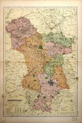 Derbyshire G W Bacon 1897 - 31 x 46 cm Large double page coloured map with woods, parks, hills, roads and railways. The railway companies are named on each line. This map has been repaired or strengthened along the centrefold but this is not too obvious. Larger image Ref uk476 : £6 Return to Great Britain & Ireland Index |
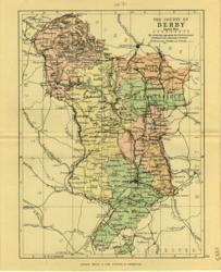 Derbyshire Geo. Philip & Son 1889 - 15 x 21 cm Printed colour hundreds. Large number of railway lines. Larger image Ref uk081 : £7 Return to Great Britain & Ireland Index |
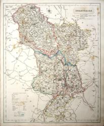 Derbyshire J & C Walker 1837 - 32 x 39 cm Fine original hand colouring of the hundreds and the county boundaries. Offered at reduced price because the item shows some foxing. (See image). Note: This map shows some newly opened railway lines. (Midland Counties Railroad, the Birmingham and Derby Railroad and the North Midland Railroad) Larger image Ref uk836 : £16 Return to Great Britain & Ireland Index |
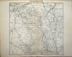 Derbyshire J Bartholomew 1883 - 17.5 x 17 cm For A & C Black's Guide to England & Wales; centrefold Larger image Ref uk1200 : £8 Return to Great Britain & Ireland Index |
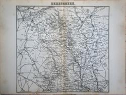 Derbyshire J Bartholomew 1874 - 17 x 17 cm For A & C Black's Guide to England & Wales; centrefold Larger image Ref uk1594 : £8 Return to Great Britain & Ireland Index |
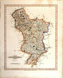 Derbyshire John Cary 1821 - 21 x 27 cm The very finest quality original hand colouring of roads, woodland and the county boundaries. Supplied with a separate sheet describing the county and its industry, farming, gentry and environment, together with a list of the country seats and The most remarkable Places for extensive Prospects, etc. Larger image Ref uk258 : £28 Return to Great Britain & Ireland Index |
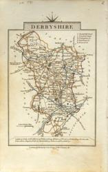 Derbyshire John Cary 1822 - 9 x 14 cm Original hand colouring of roads, woodland and the county boundaries. Some toning around the margins; see the second image to see how it will look in a mount. Larger image 1 : Larger Image 2 Ref uk794 : £13 Return to Great Britain & Ireland Index |
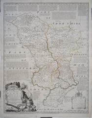 Derbyshire R Sayer, C Bowles, I Bowles 1773 - 52 x 69 cm Very large hand coloured map as issued in the Large English Atlas. A feature of this map is the large amount of text on the map describing historic events, etc. Some very short closed marginal tears and a slight crease across the lower part. Larger image Ref uk1129 : £135 Return to Great Britain & Ireland Index |
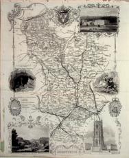 Derbyshire Thomas Moule c1845 - 28 x 22 cm Decorative map with vignettes and coats of arms. Uncoloured as issued. As is often the case with these maps there are several original folds and the engraving reaches almost to an edge of the sheet where an old paper extension will make fitting it to a mount easier. Several railways are shown. Larger image Ref uk1044 : £14 Return to Great Britain & Ireland Index |
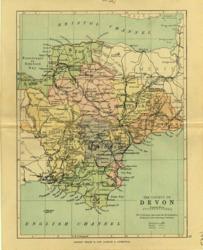 Devon Geo. Philip & Son 1889 - 15 x 21 cm Printed colour hundreds. Large number of railway lines. Larger image Ref uk651 : £7 Return to Great Britain & Ireland Index |
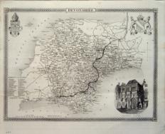 Devonshire Thomas Moule c1845 - 28 x 22 cm Decorative map with vignettes and coats of arms. Uncoloured as issued. As is often the case with these maps there are original folds and a light crease at one corner. The Bristol railway has reached Plymouth. Larger image Ref uk1045 : £20 Return to Great Britain & Ireland Index |
 Devonshire & Dorsetshire John Cary 1792 - 10.5 x 16 cm Antique double sided maps from The Traveller's Companion, with original fine hand colouring of boundaries, roads, towns & parks. No Larger Image Ref uk1836 : £18 Return to Great Britain & Ireland Index |
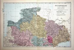 Devonshire, North G W Bacon c 1885 - 47 x 31 cm Large double page hand coloured map as issued showing woods, parks, hills, roads and railways together with towns, villages and hamlets and even individual properties. The railway network is very clearly shown and the railway companies are named on each line. A very attractive map in fine condition. Larger image Ref uk931 : £16 Return to Great Britain & Ireland Index |
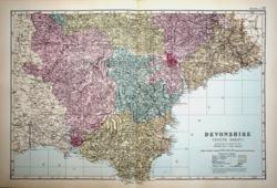 Devonshire, South G W Bacon c 1885 - 46 x 32 cm Large double page hand coloured map as issued showing woods, parks, hills, roads and railways together with towns, villages and hamlets and even individual properties. The railway network is very clearly shown and the railway companies are named on each line. A very attractive map in fine condition. Larger image Ref uk932 : £16 Return to Great Britain & Ireland Index |
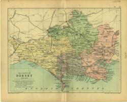 Dorset Geo. Philip & Son 1890 - 20 x 15 cm Printed colour hundreds. Large number of railway lines. Larger image Ref uk082 : £8 Return to Great Britain & Ireland Index |
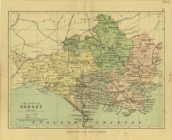 Dorset Geo. Philip & Son 1889 - 21 x 15 cm Printed colour hundreds. Large number of railway lines. Larger image Ref uk652 : £7 Return to Great Britain & Ireland Index |
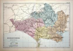 Dorsetshire G W Bacon c 1885 - 46 x 30 cm Large double page hand coloured map as issued showing woods, parks, hills, roads and railways together with towns, villages and hamlets and even individual properties. The railway network is very clearly shown and the railway companies are named on each line. A very attractive map in fine condition. Larger image Ref uk933 : £15 Return to Great Britain & Ireland Index |
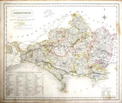 Dorsetshire J & C Walker 1837 - 39 x 32 cm Fine original hand colouring of the hundreds and the county boundaries. Offered at half price because the item shows some foxing and a smudge at the right side. (See image). Larger image Ref uk838 : £14 Return to Great Britain & Ireland Index |
|||
> Section 1 > Section 2 | |||